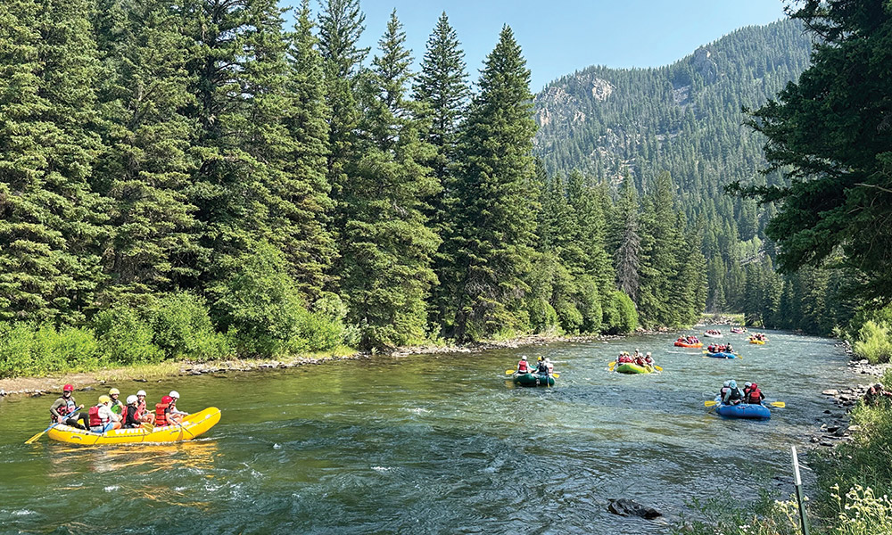
The Gallatin River flows through a tight canyon south of Bozeman, Montana. It’s a destination for fly fishers and rafters due to the clear, cold water, dramatic landscape, and abundant fish. But in 2023, the Montana Department of Environmental Quality (DEQ) designated a segment of the Gallatin River “impaired,”—a wake-up call that the river could be in danger.
Runoff from roads, farms, and homes nestled in the canyon beside the river flows into the water, mixing with natural phosphorus from feeder streams to create a chemical cocktail that acts like Miracle-Gro for Cladophora algae. With enough sunlight, the algae can cover the bottom of a riverbed, outcompeting other vegetation. As it then dies, algal decomposition consumes dissolved oxygen in the water, potentially leading to anoxic death zones for fish and insects, eventually resulting in a food web collapse in the river ecosystem.
The Gallatin River isn’t yet in this dire state, but algal blooms signal that the river’s health is in decline, which gives the DEQ a reason to keep a close eye on it. The current method of testing for algal blooms involves point sampling: A person goes into the river in waders, picks up some rocks, scrubs at them with a brush, sends algae samples to a lab, and then waits weeks for results. This method results in numerous small point samples but doesn’t reveal the big picture of algae growth in a river segment. The method also relies on a small number of DEQ staff who are responsible for sampling all the rivers in the state of Montana.
What the DEQ needs is a way to monitor, in real-time, impaired segments of the river at centimeter scale. Such monitoring activity helps meet a target of United Nations Sustainable Development Goal 14, which emphasizes the health of life below water. In the case of the Gallatin River, a research team at Montana State University (MSU) is confident that photonics can help.
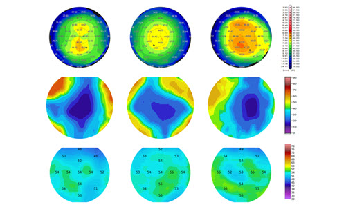
Riley Logan, assistant professor at MSU, did his graduate work on water quality imaging on Montana’s Upper Clark Fork River. He used an expensive hyperspectral imager mounted on a drone to estimate the pigments present in algae as a proxy for biomass of algal blooms. The drone system cost tens of thousands of dollars. “That was scary,” remembers Logan. “I didn’t trust myself. I thought I was going to dunk it into the river.”
Recognizing the need for a more accessible solution, Logan’s then-advisor, Joseph Shaw, director of MSU’s Optical Technology Center, suggested a simpler, cheaper multispectral system. The idea was to extract only the essential wavelengths identified using the hyperspectral imager for algae classification and chlorophyll a abundance estimation. Such a system could be mounted at numerous points along the river to create a network capable of monitoring a much larger segment than the 1-km-range capability of their expensive drone.
This network would allow targeted monitoring of suspicious tributaries, which sometimes show large algal blooms at their entrance to the main river. If these detectors could be placed just above and below where the tributary joins the river, “it would allow us to untangle this mystery of where some of these nutrients are coming from. Is it a septic [leakage] problem in this part of the canyon or is it from a natural source of phosphorous up here where nobody lives?” asks Logan.
By analyzing hyperspectral images and correlating spectral signatures with physical ground-truth samples, Logan’s team selected specific wavelengths crucial for algae detection. They ultimately identified a green channel, the color of chlorophyll, two red channels for chlorophyll a absorption peaks, and one infrared channel, which distinguishes water—which has high absorption—from bank vegetation.

Riley Logan (left) and Shannon Hamp (right) with the drone-mounted hyperspectral imager. Photo credit: Joseph Shaw.
The team started with cheap RGB Raspberry Pi cameras but quickly ran into issues applying spectral-specific bandpass filters over RGB filters on the detector. “We learned that there is such a thing as too-low cost,” explains Shannon Hamp, who first began working on the multispectral imager project as an MSU undergraduate and has continued with it as a side project during graduate school.
They eventually settled on using four monochrome cameras as imagers. It’s an improvement, but one that comes with image alignment problems. “Even when you put the four cameras really close together, they have slightly different viewing angles. That makes things like dividing channels to get ratio information really difficult,” explains Hamp.
The challenges weren’t all related to technology. While Shaw assumed that bridges spanning the river would make obvious places to mount and access these sensors, “It turns out it’s not always easy to get people to agree to let you put a camera on their bridge,” says Shaw. “That’s a good lesson for all engineering students. There are always bureaucratic, legal, and social challenges to technology.”
Ultimately, the team hopes to place a network of their sensors—if not on bridges, then elsewhere—on segments of the river that the DEQ most wants to monitor, and perform all post-processing (image alignment, radiometric calibration, and reflectance conversion) on-board the imager. “Then we can just minimize the amount of data we’re having to transmit,” says Hamp. “We can just say, ‘The percent cover here is 15%, which is x higher than last week.’”
This type of smart optical sensor transmits data as a product, rather than raw data, and is ultimately straightforward for an end user. When a “percent cover” threshold for one of these nuisance blooms is exceeded, it would trigger an alert for DEQ to come take a look in person, which would be a big improvement over the current whack-a-mole-style sampling process.
In addition to being cheap—each multispectral unit costs about $120 to build—the sensor units are highly modular. It would be easy to swap one spectral channel for another to accommodate the spectral fingerprint of a different riverbed that has, say, cobble instead of sand.
These are important considerations should the team ultimately commercialize their system for use by organizations like DEQ, the US Environmental Protection Agency, or US Geological Survey.
Logan hopes the tool will help regulators make well-informed policy decisions, because “we see a lot of decision-making near and on our rivers that just isn’t quite rational,” he says, such as a mine or coal plant being built upstream from a river segment that has been under decades of intensive remediation by a government agency. “That kind of ruins all of the progress that we’ve made to restore these rivers.”
Shaw agrees that their optical solutions can provide crucial information for policymakers. “The theme of my whole research group, for decades, has been to develop technology that gives useful information so that people can understand the natural environment better,” he says. “If you make sure the decision-makers are involved, your technology can actually make a difference.”
Gwen Weerts is the Editor in Chief of Photonics Focus.